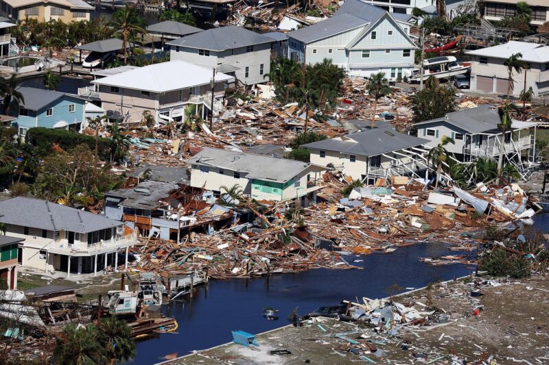
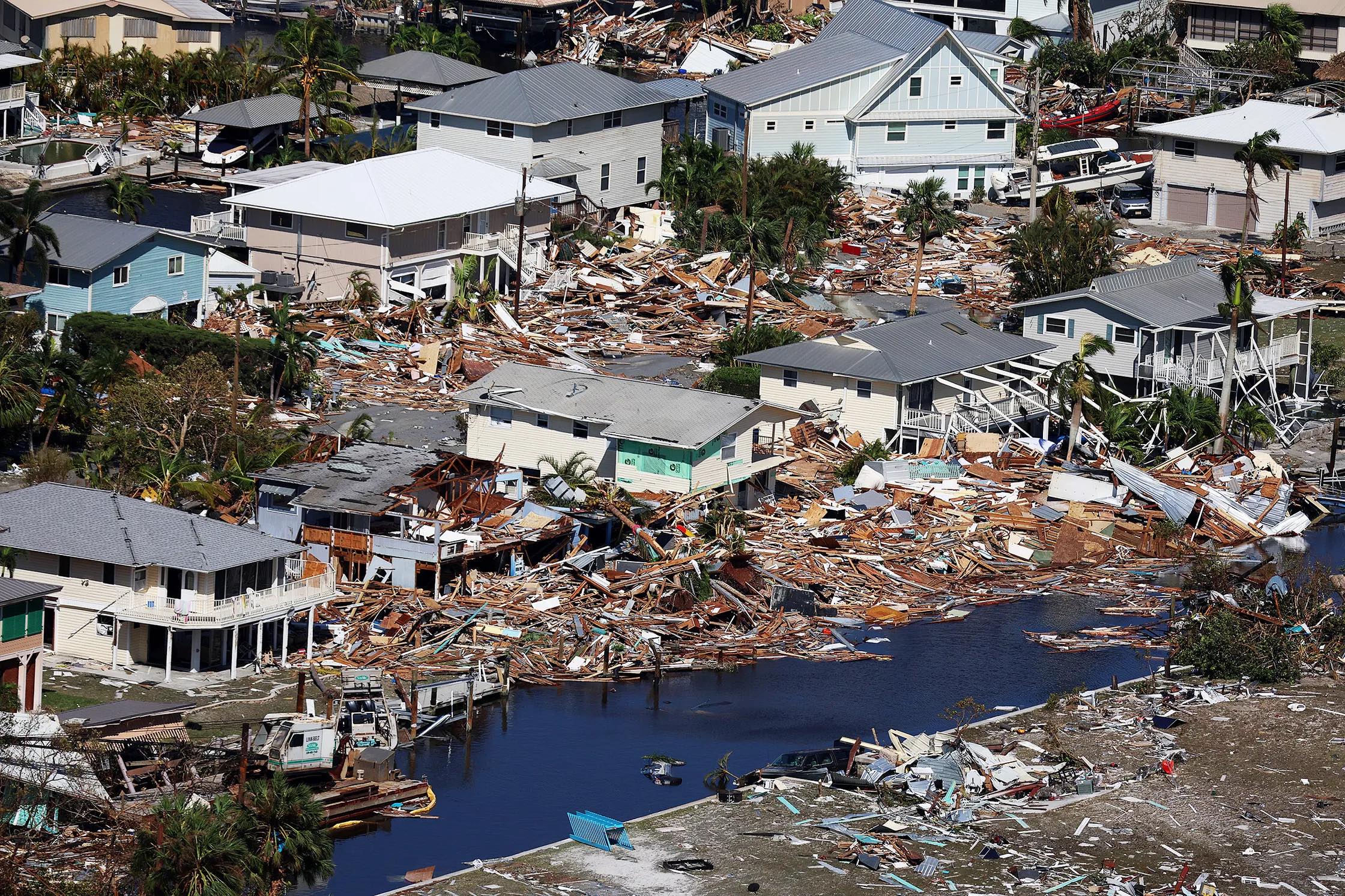
When Hurricane Ian churned over Florida in late September, it left a trail of destruction from high winds and flooding. But a week after the storm passed, some people in three of the worst-hit counties saw an unexpected beacon of hope.
Nearly 3,500 residents of Collier, Charlotte, and Lee Counties received a push notification on their smartphones offering $700 cash assistance, no questions asked. A Google algorithm deployed in partnership with nonprofit GiveDirectly had estimated from satellite images that those people lived in badly damaged neighborhoods and needed some help.
![]()
This is the first time GiveDirectly has used this technology in the US, but it previously tested a similar idea in Togo in the months after the pandemic crippled the world's economy. There, households were offered aid based on signs of poverty detected by image algorithms from researchers at UC Berkeley, and clues from cell phone bills.
The Florida project was powered by a mapping tool called Delphi, developed by four Google machine-learning experts who worked with GiveDirectly over six months starting in late 2019. The software highlights communities in need after disasters such as hurricanes by overlaying live maps of storm damage with data on poverty from sources including the US Centers for Disease Control and Prevention. The storm damage data is provided by another Google tool, called Skai, that uses machine learning to analyze satellite imagery from before and after a disaster and estimate the severity of damage to buildings.
“You now have a map that says where is socio-economically vulnerable, and where has been damaged," says Alex Diaz, who leads Google.org's AI for Social Good team. “That can help on-the-ground support and speed up delivery of aid.”
reader comments
59