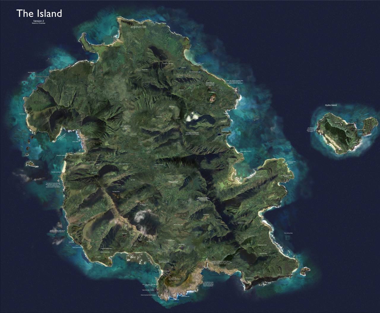
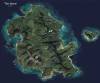
Satellite map of the Island from the TV show “Lost”.
by u/Choekaas
Related Posts
![Traditional stick maps used by Marshall Islands inhabitants to chart sea routes.
[[MORE]] The stick charts were the main tool the Marshallese used to navigate on canoe across the islands of the Pacific Ocean, until WWII. Lacking astrolabes, sextants...](https://64.media.tumblr.com/7fcff669e32a01146a75b87692a81c28/tumblr_mzifl66kLy1rasnq9o1_100.jpg)
![Distribution of indigenous peoples on the Andaman islands, 1800 vs 2004
[[MORE]]This isn’t really the prettiest map, but I have always liked it as an example of how maps can tell stories, this one of colonialism and depopulation.
The Andaman Islands...](https://64.media.tumblr.com/21a8e8dd4137a4b5a5a7c0af07401f20/tumblr_njgk49pcEP1rasnq9o1_100.png)


 vandergraf reblogged this from mapsontheweb
  zenguita liked this
  lightseasons liked this
  delicatelycrazyobservation liked this
  paulfe liked this
  je-suis-sous-le-charme liked this
  cosasdeguerras liked this
  mewttie liked this
  johnmit3 liked this
  the-luna-sphere liked this
  gkpmnipples liked this
  vulpes-aestatis reblogged this from mapsontheweb
  calyxaomphalos liked this
  alexs-dead-livejournal liked this
  nerdybikersblog liked this
  naiadbookworm liked this
  majorgay liked this
  kittycat1810 liked this
  507317 liked this
  screaming-rusame-trash liked this