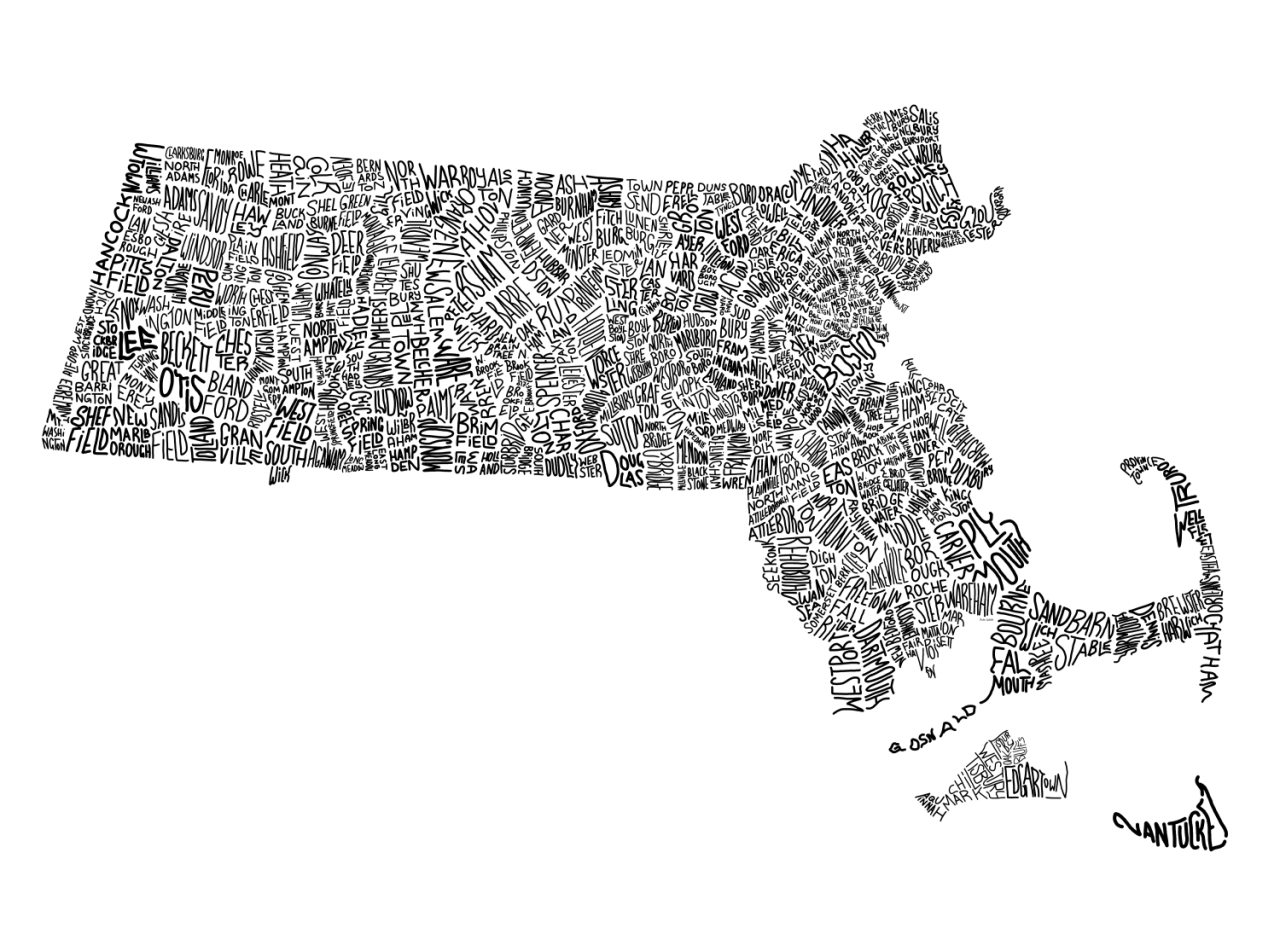
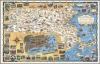
Typographic Map of Massachusetts.
(Source: sewallgraham.com)
Related Posts
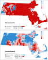
![Average Yearly Snowfall Map of Massachusetts
[[MORE]]
Portacup:
Data was sourced from http://www.usa.com/ . Map was compiled by me over a year ago. Used a blank Wikipedia town map of Massachusetts as a template.
Just posted this and realized I was...](https://64.media.tumblr.com/8fabadf3ca5b638b5762830c6447f7b5/tumblr_nf4jqj7yM11rasnq9o1_100.png)


 cannedmeerkat liked this
  matthew-pasquarello liked this
  puppypeepad liked this
  suitemadameblue reblogged this from peachdoxie
  f0xx0rzz liked this
  tristisinece liked this
  caseopencaseshut liked this
  jikuanif liked this
  foren-sis liked this
  lupin5th liked this
  thekalynextdoor liked this
  rexq liked this
  shake-for-a-sheikh liked this
  theatretechgal liked this
  aunnesha liked this
  darkexpertherringstatesman liked this
  taigasrandomshit reblogged this from mapsontheweb
  theladyparasimtamol liked this
  purple-is-great liked this
  antoniolasagna liked this
  parsleyjar liked this
  tinycatfigureonmydesk liked this
  dirteerat liked this
  gronchy liked this
  yourskogen liked this