San Diego approves plans to expand Mission Trails park with a series of upgrades
Mission Trails Regional Park would be expanded to nearly 10,000 acres and get new hiking trails and other recreational amenities under an updated master plan the San Diego City Council approved on Tuesday.
City officials said the goal of the plan is boosting public access to the park, which they described as an oasis of mostly undisturbed wildlife habitat surrounded by residential development and other urban features.
The park, which would expand from 7,200 acres to 9,800 acres under the plan, has included Lake Murray, Cowles Mountain, Fortuna Mountain, the Old Mission Dam and several other natural features since it was established in 1974.
The new plan also covers the 1,800-acre West Sycamore Canyon area near Scripps Ranch, which the city acquired and added to the park about five years ago. That area is north of Miramar and west of Goodan Ranch.
The plan also adds to the park a 2,600-acre swath of open land called East Elliott, an area just north of state Route 52 where previous proposals have included large housing subdivisions and a new city dump.
Dozens of private property owners in East Elliott have criticized the master plan for rendering their land incapable of being developed. Some lobbied the city Tuesday to buy their land from them, while others vowed to never sell.
Council members said they empathize with the property owners, most of whom bought the land roughly 50 years ago when urban sprawl was the preferred route of residential development in San Diego and across the nation.
City officials considered several different housing proposals for the area in the 1970s and 1980s, but later shifted gears toward wanting to preserve the land and eventually annex it into the park.
Council members praised the new master plan, the first update to the city’s vision for Mission Trails Regional Park since 1985, as a long time coming.
Launched nearly 11 years ago, the plan was delayed when state and federal wildlife agencies raised a variety of concerns. The plan also needs approval from the county Board of Supervisors later this year.
Calling the park a “hidden jewel,” Councilman Scott Sherman of Allied Gardens said the new plan would help the city continue to upgrade it.
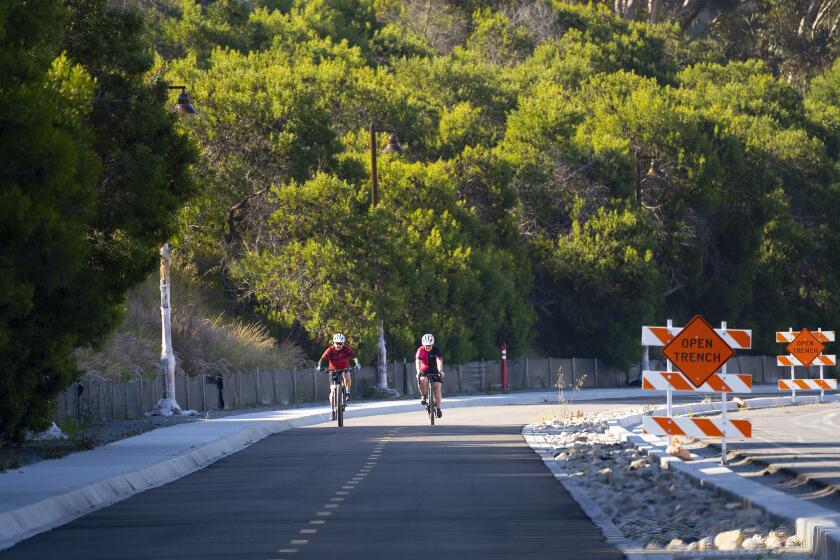
The park has more than 60 miles of hiking, mountain bike and equestrian trails, plus a rock-climbing area, a 14,000-square-foot interpretive center that opened in 1995, and the Kumeyaay Lake Campgrounds.
Councilwoman Dr. Jennifer Campbell of Bay Ho said the plan will boost San Diego’s access to the park, which is less than 10 miles northeast of downtown.
“The plan ensures better access for all types of groups to enjoy Mission Trails Park and protects the many plants and animals that call it home,” she said. “I’m glad to know that future generations of San Diegans will benefit from this plan for years to come.”
Council members credited former Mayor Dick Murphy and longtime volunteer Dorothy Leonard, who co-founded the Mission Trails Regional Park Foundation, for spearheading efforts to preserve the area and upgrade it.
New amenities in the plan include new trail routes, many of which are long-awaited missing links.
The plans also calls for restrooms in West Sycamore and at Old Mission Dam; a ranger station in West Sycamore; fire-resistant shade structures in several remote areas; new parking areas near the visitors center, Mission Gorge, Cowles Mountain and Big Rock Park.
Development of the park has been in conjunction with federal and state wildlife agencies since the area became part a crucial wildlife corridor called the Multiple Species Conservation Program that the city helped create in 1997.
On the East Elliott land, city officials said they have bought about 730 acres of land from private owners in recent years, but that another roughly 700 acres remains in the hands of individual private owners.
The rest of the area includes a landfill the city expects to acquire in about 20 years and mitigation land owned by developers.
East Elliott dates back to 1961 when the federal government divided up a defunct military base called Camp Elliott into three parts: the Tierrasanta neighborhood, land that became the early boundaries of Mission Trails Regional Park, and East Elliott.
Top headlines by email, weekday mornings
Get top headlines from the Union-Tribune in your inbox weekday mornings, including top news, local, sports, business, entertainment and opinion.
You may occasionally receive promotional content from the San Diego Union-Tribune.

