
At this second module, the last theoretical one before starting with the practical part, we will speak about reference systems and how we can apply them in a GIS to represent our geographic information correctly.
It is very important to know about this issue because if we load two layers that are in different reference systems, in a same view, we can have them without being overlapped correctly. We will have to manage their reference systems to solve this problem.
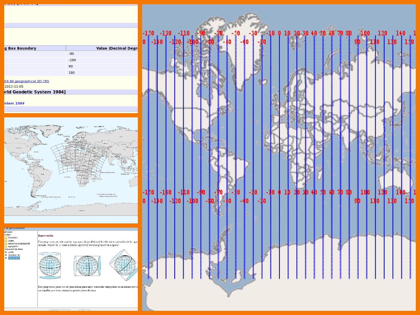
Reference systems can be managed in different ways, and one of the most used options is through EPSG codes, where each different reference system is corresponding to a different code.
At this link you can see the list of EPSG codes of the different reference systems, that will help you to work with your cartography in gvSIG: http://downloads.gvsig.org/download/geodata/EPSG_codes/Projected_Coordinate_Reference_Systems.pdf
And here you have the video of this second module:
Related post:
– Module 1: Differences between GIS and CAD


Pingback: GIS applied to Municipality Management: Module 2 ‘Introduction to reference systems’ – GeoNe.ws
I cannot access and view the view because my office network is restricted from youtube. Is that a possibility of having videos that are downloadable from this site itself, without going to youtube?
Otherwise many thanks for this nice initiative. I am following the proceedings keenly with interest.
I cannot access and view the video because my office network is restricted from youtube. Is that a possibility of having videos that are downloadable from this site itself, without going to youtube?
Otherwise many thanks for this nice initiative. I am following the proceedings keenly with interest.
Hi Justine,
if you install VLC you can convert a Youtube URL to mp4. Have you tried it? Let us know if it works. If it doesn’t work in your case we would look for another way to download it.
Hi Mario,
Thanks for giving me the option, however it doesn’t work. This is the response “www.youtube.com’s server DNS address could not be found”.
Hi Justine, here we have found a solution: https://www.drivereasy.com/knowledge/solved-server-dns-address-could-not-be-found/ Let us know if it works, it will be useful for other users. In case that it doesn’t work we would look for other possible solutions. The videos were created directly from our webinar platform in Youtube, and we would have to download all of them and upload them to a server. Thank you!
I have tried all the first four options and none has worked for me. I have tried the fifth though, I am still optimistic for a relief. Looking forward to a breakthrough with the video downloads, any more suggestions?
Ciao!
Hi Justine,
we have uploaded them to this link:
https://mega.nz/#F!0dYQTLBK!n1Z6TpaygZMdc2WBU1ysgA
We will publish them at that link.
Let us know if it works now.
Ciao!
Mario
Hi Mario,
Perfecto! Works so well. I have downloaded the vids.
Grazie molto.
Ciao!
Justine.
Perfect! We hope that you enjoy it!
dear sir,
please tell me who i can register myself in this course
Hello, you don’t need to register at the course. You only have to follow the videotutorials. At this first post you can find a “Frequent questions” section with all the information: https://blog.gvsig.org/2017/12/04/free-course-about-geographic-information-systems-applied-to-municipality-management-list-of-topics-and-1st-module-differences-between-sig-and-cad/
Pingback: GIS applied to Municipality Management: Module 3 ‘Views, layers, symbology, labelling’ | gvSIG blog
Pingback: GIS applied to Municipality Management: Module 4.1 ‘Attribute tables (alphanumeric information)’ | gvSIG blog
Plz notify me of new post
Hello, you can follow the blog and receive the new posts. At the bottom of the page, at the right side you can see the “gvSIG blog on your mail” option. If you fill it in with your e-mail address you will receive an e-mail when a new post is published. Besides, you can see the posts about the course at this link: https://blog.gvsig.org/?s=GIS+applied+to+Municipality+Management
We will publish a new post every Monday and Thursday.
Pingback: GIS applied to Municipality Management: Module 4.2 ‘Attribute tables (joining tables)’ | gvSIG blog
Pingback: GIS applied to Municipality Management: Module 5.1 ‘Web services (Introduction to SDI)’ | gvSIG blog
Pingback: GIS applied to Municipality Management: Module 5.2 ‘Web services (Loading web services from gvSIG)’ | gvSIG blog
Pingback: GIS applied to Municipality Management: Module 5.3 ‘Web services (Non-standard services)’ | gvSIG blog
Pingback: GIS applied to Municipality Management: Module 6 ‘Add-ons manager’ | gvSIG blog
Pingback: GIS applied to Municipality Management: Module 7.1 ‘Editing (new layers, graphical and alphanumeric editing)’ | gvSIG blog
Pingback: GIS applied to Municipality Management: Module 7.2 ‘Editing (Derivative geometries)’ | gvSIG blog
Pingback: GIS applied to Municipality Management: Module 8.1 ‘Creation of point layers from tables (Geocoding: Points from a table with addresses)’ | gvSIG blog
Pingback: GIS applied to Municipality Management: Module 8.2 ‘Creation of point layers from tables (Event layers)’ | gvSIG blog
Pingback: GIS applied to Municipality Management: Module 9 ‘Hyperlink’ | gvSIG blog
Pingback: GIS applied to Municipality Management: Module 10 ‘How to convert cartography from CAD to GIS’ | gvSIG blog
Pingback: GIS applied to Municipality Management: Module 11 ‘Reprojecting vector layers’ | gvSIG blog
Pingback: GIS applied to Municipality Management: Module 12 ‘Geoprocessing’ | gvSIG blog
Pingback: GIS applied to Municipality Management: Module 13 ‘Layouts’ | gvSIG blog
Pingback: GIS applied to Municipality Management: Module 14 ‘Image georeferencing’ | gvSIG blog
Pingback: GIS applied to Municipality Management: Module 15 ‘gvSIG 3D’ | gvSIG blog
Pingback: GIS applied to Municipality Management: Module 16.1 ‘gvSIG Online (Publishing cartography, advanced editing…)’’ | gvSIG blog
Pingback: GIS applied to Municipality Management: Module 16.2 ‘gvSIG Online (Basic editing, hyperlink…)’ | gvSIG blog
Pingback: GIS applied to Municipality Management: Module 16.3 ‘gvSIG Online (Connection with gvSIG Mobile and enumerations)’ | gvSIG blog
Pingback: GIS applied to Municipality Management: Module 17 ‘gvSIG Mobile (Connection with gvSIG Desktop)’ | gvSIG blog
Pingback: GIS applied to municipality management: Certification and links to the complete course | gvSIG blog