Antarctic sub gauges sea ice thickness
- Published

A novel autonomous sub has acquired the first detailed, high-resolution 3D maps of Antarctic sea ice.
Released from a ship, the vehicle criss-crossed the underside of the floes, using upward-looking sonar to measure their shape.
The researchers involved in the project tell the journal Nature Geoscience that the thickness of the pack ice was greater than they had anticipated.
But they also caution against making generalisations from limited sampling.
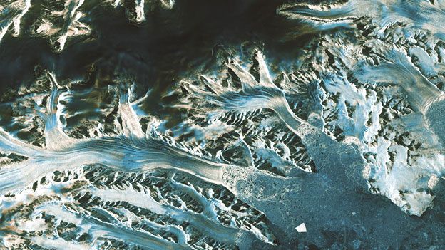
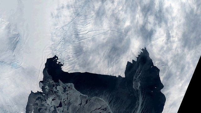
Antarctic sea ice at its peak extent can cover 20 million square km; the research team on the other hand looked at just six small boxes some 500m along the square.
Nonetheless, the UK/US/Australia group got its proof-of-principle Autonomous Underwater Vehicle (AUV) into previously hard-to-reach places.
The hope is that this early demonstration will lead in the future to more effective means of assessing the volume of marine ice circling the White Continent.
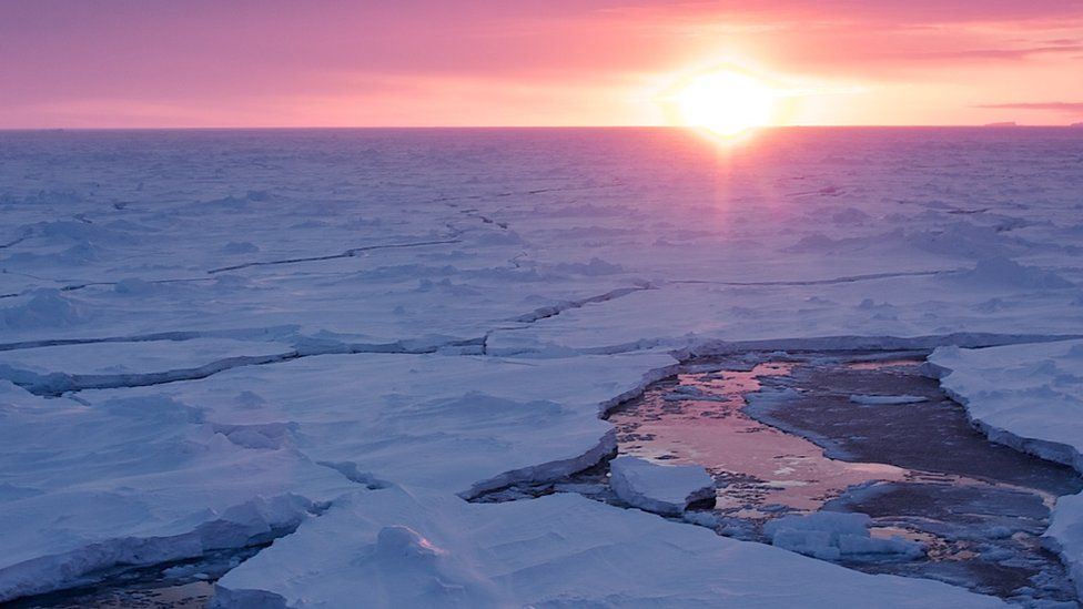
This topic has become one of the most interesting questions in climate science in recent years as its trend line grows in the face of a warming planet.
Deep-winter sea ice in Antarctica now stands at an all-time high, as measured in the modern satellite record - and researchers are trying to work out why it has not followed the sharp decline seen in the Arctic.
"Antarctic sea has been kind of the poor sister," says Jeremy Wilkinson from the British Antarctic Survey.
"A lot of effort has gone into measuring Arctic sea ice, and we're only now just scratching the surface of Antarctic sea ice, especially in respect to thickness," he told BBC News.
"We want to understand how it is changing and how that integrates with climate and ecosystem changes.
"It's only by bringing all the processes together that we will be able to model them and say what's going on in the Antarctic."
Footage from one research mission shows the sub being lowered into the sea
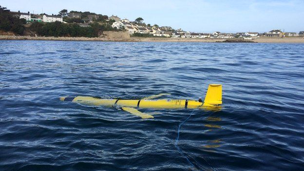
The AUV, known as SeaBED, was developed at the Woods Hole Oceanographic Institution (WHOI) in the US.
It is about 2m in length, weighs nearly 200kg, and sports a twin-hull design that gives it enhanced stability.
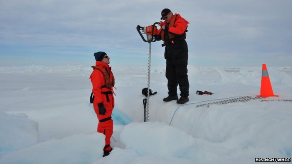
SeaBed was released in the Antarctic spring seasons of 2010 and 2012 to sample ice thickness in six locations that included the Bellingshausen and Weddell seas, to the west of the continent, and off Wilkes Land, to the east.
The sub autonomously went about its business, tracking a "lawnmower pattern" under the ice for several hours before returning to the launch ship for recovery.

That in itself is quite an achievement.
"Here's the hard part: the ice floes that we want to map are all moving," explains WHOI's Hanumant Singh.
"What you do is place transponders in the ice so that the sub can move relative to those and produce a map that is consistent.
"The other big problem is that the ice will close up. In the six to eight hours that it takes to do one of these missions, the ice conditions change dramatically, and the hole you dropped the AUV in may have gone by the time the survey's finished.
"You then just have to hope that a new hole has opened up next to your ship, which has itself by then also moved."
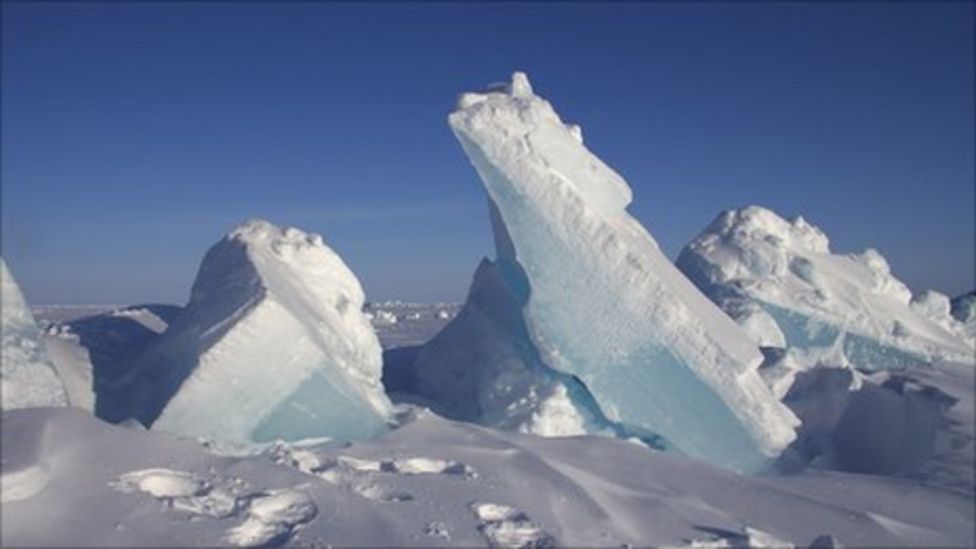
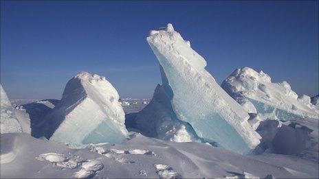
The researchers found that, on average, the thickness of the ice beneath sea level was 1.4 to 5.5m, with the thickest sea ice measured at 16m.
They also encountered a lot of highly deformed ice, where one block had ridden over another, increasing the overall draft.

Antarctic sea ice measurements in the past have largely been limited to shipboard observations and drill holes - both of which are likely to bias to thinner ice (for example, a ship's captain prefers to drive a vessel through the thinnest packs to avoid getting stuck).
A more global assessment would use satellites but these have difficulty working in the Antarctic because of the deep snow drifts that can accumulate on top of the floes.
These will hide the true shape of the ice and if the weight of the snow is substantial may even press the floes into the water column.
But Dr Wilkinson is hopeful that this and future sub studies will enable researchers to tease apart such details, to allow satellites to better gauge what they see below them.
"What we can do is take what these subs are showing us and then develop the algorithms that can be used by satellites to get a better synoptic scale," he told BBC News.
"Another approach is to use longer-range AUVs that can give you a couple of hundred km [along the square] and go after the key areas that are changing, and to monitor those over time," said Dr Wilkinson.
WHOI continues to develop its sub technology. It plans next to deploy a torpedo-like vehicle that can move faster and cover much wider sampling areas.
"The vehicle that we have now is relatively inexpensive at half a million dollars, but we'd like to get that down to maybe $100,000-150,000, so that when we lose a vehicle - and you will at some point lose one - we won't cry too much," said Dr Singh.


Jonathan.Amos-INTERNET@bbc.co.uk and follow me on Twitter: @BBCAmos
- Published29 October 2014
- Published2 October 2014
- Published22 September 2014
- Published1 September 2014
- Published20 August 2014

- Published29 May 2014
- Published19 May 2014